
Another day of below-average temperatures before summer feel returns
A strong ridge of high pressure is building over the southern plains, bringing temperatures back to summer levels.
Watch CBS News

A strong ridge of high pressure is building over the southern plains, bringing temperatures back to summer levels.
Stronger rain chances are more likely further southeast of the Metroplex.

There is a 20%-30% chance of isolated showers and storms off and on through the day Wednesday.
Expect a pleasant Monday with full sunshine and low humidity.
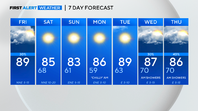
The mornings will be the coolest since we experienced an overnight low of 57 on April 23.
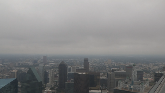
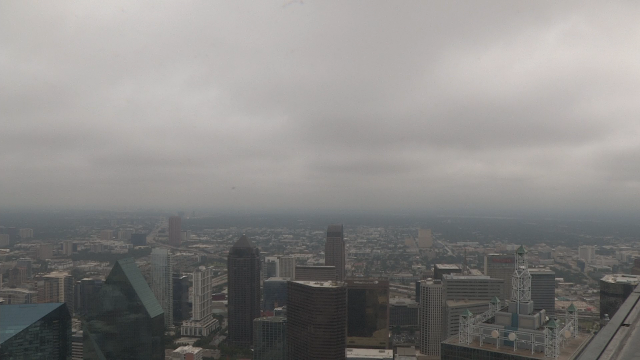
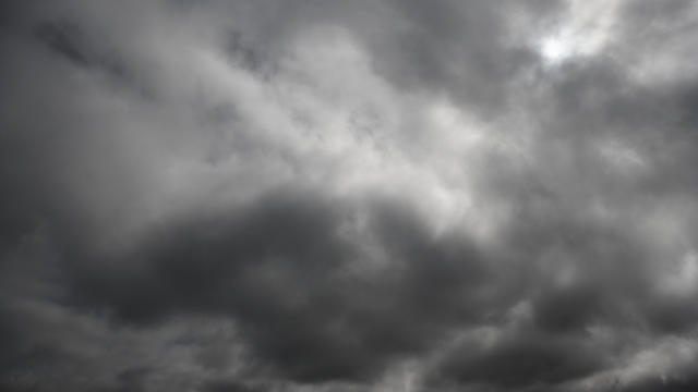
Mostly cloudy to cloudy skies hovered over Dallas-Fort Worth Thursday morning but some North Texans may have seen some peeks of sunshine.
The low-pressure system will continue to move east throughout the morning and into the afternoon.
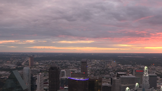
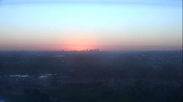
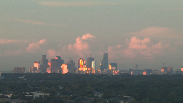
Labor Day across Dallas-Fort Worth started out cloudy with some scattered showers.
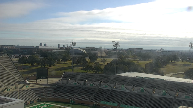
Parts of Dallas-Fort Worth started off the Labor Day holiday weekend with cloudy to mostly cloudy skies.
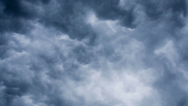
Rain chances continue to increase for Labor Day weekend.
First Alert meteorologists have issued weather alerts for Friday through Monday.
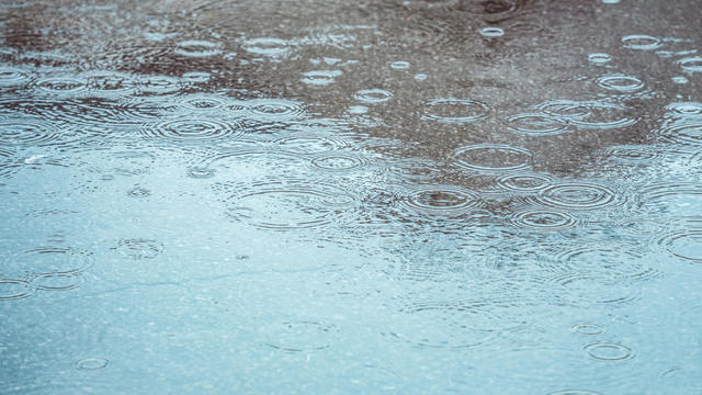
Some North Texans saw rain Tuesday morning and more rain is possible throughout the week.

Air temperatures Friday afternoon could reach 108 in some areas, and a ridge of high pressure will keep most clouds away.

The Metroplex and most surrounding counties are under a heat advisory Thursday, with a heat index up to 109.
Temperatures will return to at least 100 degrees on Thursday.