
Who got the most snow? Totals from latest snow storm in MN, WI
A few inches of snow fell across Minnesota and Wisconsin after a snow storm Friday night into Saturday.
Watch CBS News

A few inches of snow fell across Minnesota and Wisconsin after a snow storm Friday night into Saturday.

Highs reach the upper teens in the afternoon with wind chills in the single digits. It will be mostly sunny all day.

Snow will continue to fall Saturday morning following overnight flurries, giving way to a dry and cold rest of the weekend.

Expect a few slick roads Wednesday night in the Twin Cities due to light snow from a passing system — with a larger snow system hitting this weekend.
A storm bringing accumulating snow is anticipated to arrive Friday night into Saturday morning.

Another round of snow will move in Sunday night closer to midnight impacting morning commute across central Minnesota.

The idea for the sculptures at Rice Park came from Tom Klug, a sculptor who had a daughter that was a patient at Children's Minnesota previously.
Saturday morning will start off mild, but as a cold through passes through, temperatures are expected to drop into the single digits by the evening.

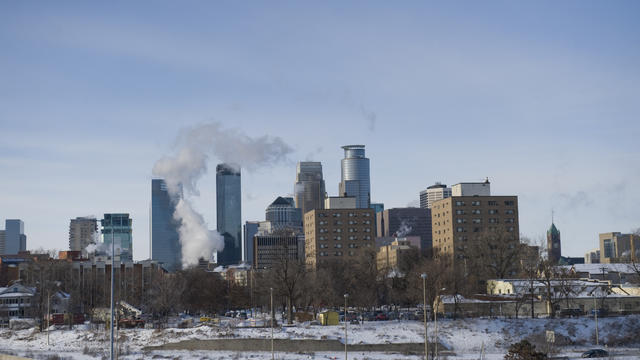
A NEXT Weather Alert is in effect Monday as dangerous cold assaults Minnesota.

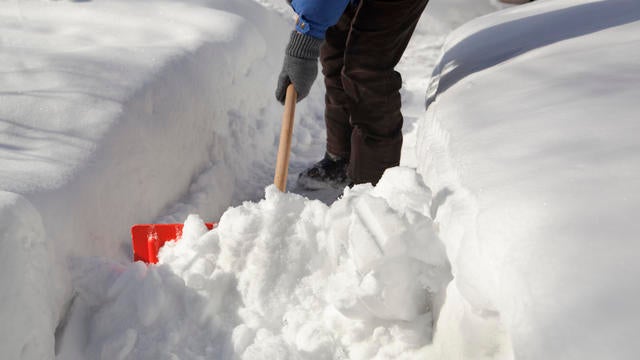
This bitter cold weather makes a lot of people hunker down, opting to stay inside — but not everyone.
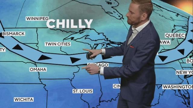
An Arctic air mass causes wind chills on Saturday morning to drop, ranging between -5° around the metro and -25° in parts of northern Minnesota.
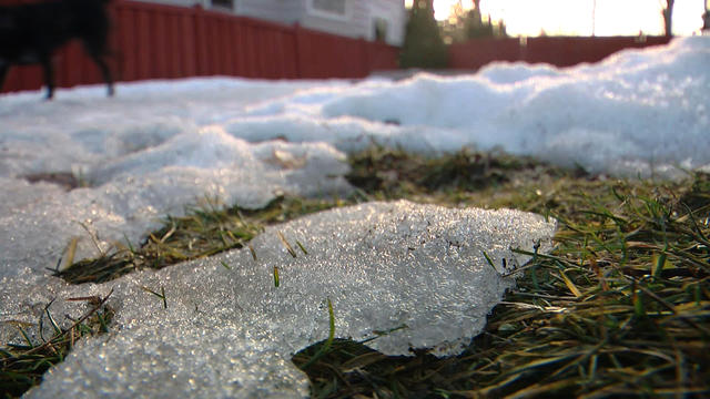
Wednesday begins an ascent to warmer days in the Twin Cities, but another harsh drop is ahead.
We will see some sunshine, but feels-like temperatures will be in the negatives.

Highs across the state will be in the single digits, and even colder in spots.

The fog clears out on New Year's Eve as cooler air moves in, with light snow possible in the Twin Cities.