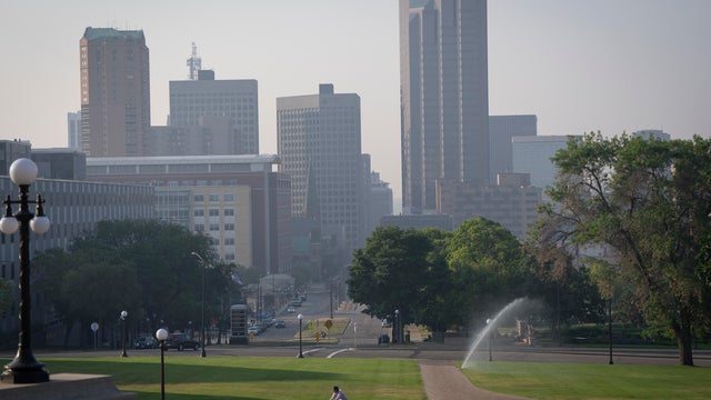
Minn. pollution officials release air quality forecast for summer
The Minnesota Pollution Control Agency has released its latest air quality forecast for the summer season.
Watch CBS News

The Minnesota Pollution Control Agency has released its latest air quality forecast for the summer season.

Monday kicks off a sunny, quiet week in the Twin Cities as warm spring temperatures carry on.

Sunday will start chilly with temperatures in the 40s but will warm up into the upper 70s in the afternoon, which is why WCCO is declaring it a #Top10WeatherDay!

Spring is heating up, with a breezy, warm Wednesday on the way and even warmer temperatures ahead.

Both Minnesota and Wisconsin were hit by tornadoes during Monday night's severe storms, the National Weather Service confirmed.
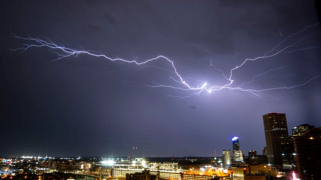
Sunday and Monday are both NEXT Weather Alert days in southern Minnesota, including the Twin Cities, due to the elevated threat of severe weather.

WCCO's Chris Shaffer said to look out for storms on Monday.

Saturday starts off dry, but may turn wet as a warm front moves through the area during the afternoon.

Minnesotans may be wondering why they're hearing tornado sirens on Thursday. It's because of Severe Weather Awareness Week.

Minnesota's plan to combat an invasive pest is canceled after federal funding fell through, the state said.

Temperatures will reach the mid-50s in the afternoon, with overnight lows dropping into the 20s.
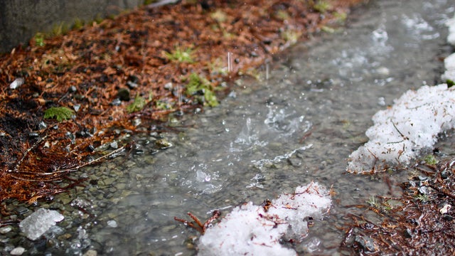
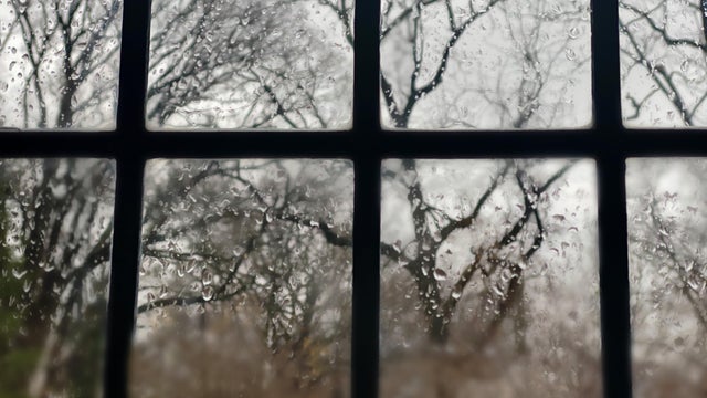
As an early April storm system works its way out of Minnesota on Wednesday, areas to the north will see more snow, while the Twin Cities are in for some rain.
Roads and untreated surfaces could be slick, especially north of the Twin Cities, where the greatest accumulations will be about 1 to 3 inches of snow and .10 inches of freezing rain.

A warming trend begins Wednesday that will bring temperatures into the 60s by Thursday, and the 70s by Friday in parts of Minnesota.

Weather conditions will shift in the Twin Cities on Tuesday as a cold front moves in and the next storm system approaches.