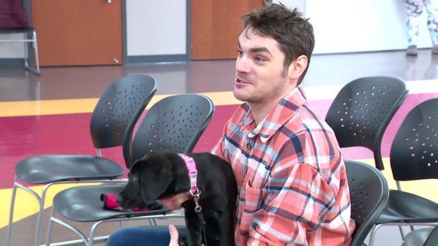
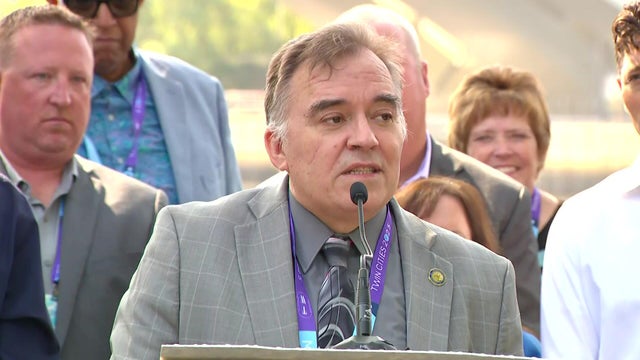
Can Do Canines announces partnership with actor RJ Mitte
Can Do Canines announced a new celebrity partnership Wednesday and showed off their latest certified team.
Watch CBS News

Can Do Canines announced a new celebrity partnership Wednesday and showed off their latest certified team.
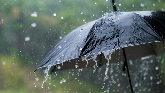
Tuesday will kick off a stretch of wet and chilly days in the Twin Cities.
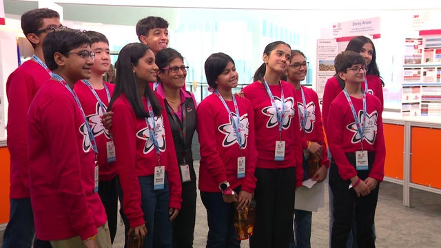
The top 10 finalists from across the country of the 3M Young Scientists Challenge presented their projects on Monday at the 3M Innovation Center in St. Paul, Minnesota.
Wind gusts will reach up to 35 mph, and there's a chance for some on-and-off showers throughout the day.
Friday will be a classic fall day in the Twin Cities with sunshine, a light northwest breeze and comfortable highs in the mid-to-upper 60s under clear skies.

Minnesota is dealing with more warmth and strong winds ahead of a cold front set to pass through Sunday afternoon.

Expect clearing skies and highs in the 80s on Wednesday. Thursday will be very similar.

After a chilly start, highs near 80 and plenty of sunshine will make for a third straight #Top10WxDay in the Twin Cities on Sunday.
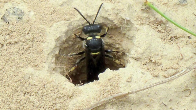
Small wasps target the emerald ash borer at various stages of its life cycle without harming other species.

The Twin Cities will see foggy mornings and warm afternoons for the next few days.
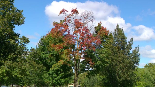
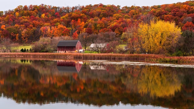
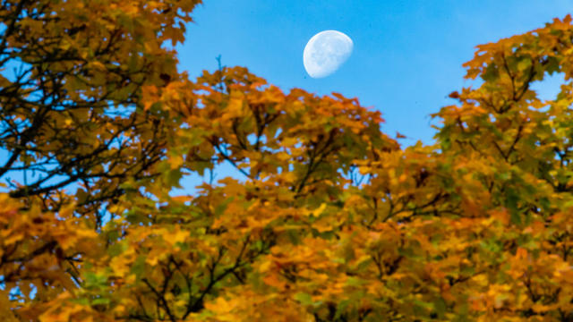
For leaf peepers out and about across the Twin Cities metro, there is a lot more green than red to see right now.
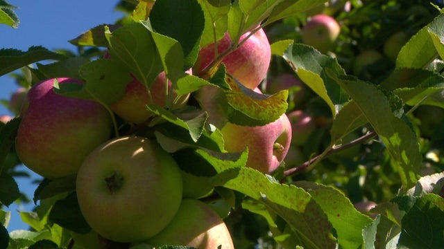
The peak apple harvest season is on for the next four weeks.

Minnesota's stormy stretch is just about done, making for a mostly dry Sunday for much of the state.
Mayors from cities all along the "Mighty Mississippi" met in Minneapolis on Wednesday for the latest Mississippi River Cities & Towns Initiative.
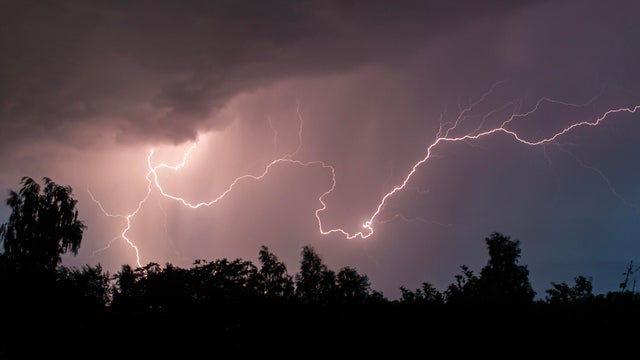
A few isolated storms will fire later Sunday evening across western Minnesota. Some storms could make it east toward the Twin Cities by dawn.