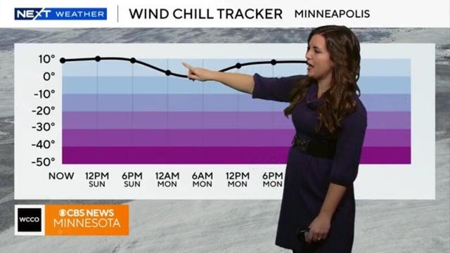
As snowstorm exits Minnesota, bitter cold enters
Minnesotans awoke to lingering snowfall on Sunday morning, but that storm will soon exit, bringing bitter cold in its wake.
Watch CBS News

Minnesotans awoke to lingering snowfall on Sunday morning, but that storm will soon exit, bringing bitter cold in its wake.
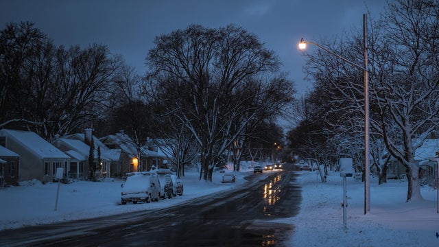
Light and persistent snow continues to fall in Minnesota on Saturday, with the southern region expected to see the most accumulation.

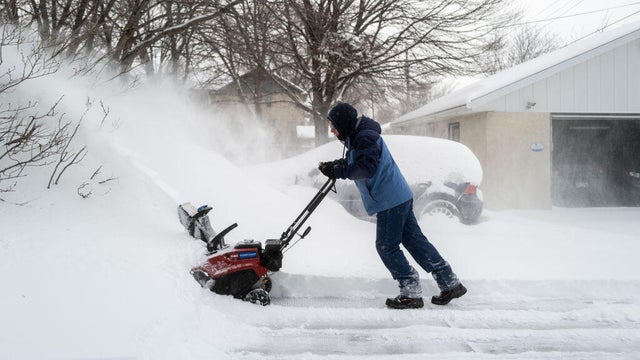
A winter snowstorm that slowly moved into southern Minnesota on Friday night is expected to drag across the state into Saturday. WCCO has issued a NEXT Weather Alert.

After a #Top10WxDay closed out the weekend in the Twin Cities, things will start to feel more seasonable at the start of the workweek.
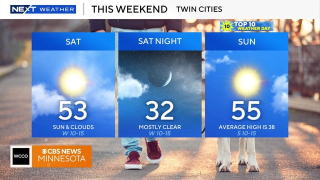
Weekend temps will be above average with highs in the 50s. Cold weather by Thanksgiving.

High pressure overhead will finally bring lots of sunshine to the Twin Cities to wrap up the work week.

After some precipitation early Tuesday, the Twin Cities will be dry and seasonable for the next several days
Areas south of the Twin Cities should brace for some snow Monday night as a wintry mix moves through.
Tailgaters at the Vikings-Bears game can expect upper 30s, but it is expected to be in the 40s by midday.

After record breaking heat on Friday, an overnight cold front has brought the temps down to the 50s for the metro area and high 30s to low 40s for other parts of the state.

A passing clipper system will reinforce the cold and even bring some snow chances for southern Minnesota on Saturday morning.

The Twin Cities will kick off the work week on Monday with highs in the mid 50s, sunshine and gusty winds.

Scattered rain showers will develop Friday in the Twin Cities and continue into the trick-or-treating hours.

Pimento Jamaican Kitchen founder Tomme Beevas, who is from Kingston, Jamaica, is keeping his family and friends top of mind as Hurricane Melissa moves closer to the Caribbean island.

Aside from some clouds early Sunday morning, it will be mostly sunny with a high near 60 to wrap up the weekend.