Twin Cities break 90-degree mark for only 2nd time this year
For just the second time this year, the high hit 90 degrees on Saturday in the Twin Cities, and it feels even hotter due to heavy humidity.
Watch CBS News
Lisa has been fascinated by the weather all her life. She grew up watching Midwest thunderstorms in her hometown in northwest Indiana. She obtained her Bachelor of Science degree in Meteorology with a minor in mathematics from Valparaiso University. She also obtained a Bachelor of Arts degree in Communications, and has the American Meteorological Society Certified Broadcast Meteorologist designation, as well as a NWA Seal of Approval from the National Weather Association.
While at Valparaiso, she was the founding Chief Meteorologist for their college TV station VUTV, President of the Northwest Indiana American Meteorological Society/National Weather Association, and active member of the Valparaiso University Storm Intercept Team (VUSIT). Part of her involvement with the storm chase team included a 10-day convective field study in which she chased storms across the plains traveling 5,626 miles through seven states seeing her first tornado!
Before making it back to the Midwest, Lisa previously worked for CBS affiliates in Sacramento, West Texas and Central Illinois.
She obtained a master's degree in strategic communications from the University of Minnesota with her capstone project focusing on communicating climate change.
She is a Nationally Certified Emergency Medical Technician and volunteer with Northstar Search & Rescue with her K9 named Thunder.
For just the second time this year, the high hit 90 degrees on Saturday in the Twin Cities, and it feels even hotter due to heavy humidity.
A really nice Wednesday in the works with high pressure and a gentle wind coming in out of the east.
Wednesday kicks off a stretch of lovely summer weather in the Twin Cities.
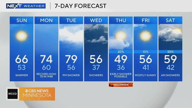
Aside from a slight chance of isolated showers on Tuesday, the next few days of the forecast look dry.
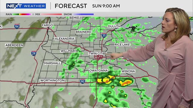
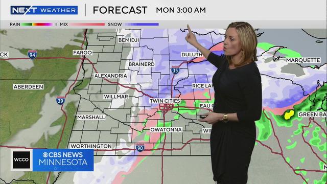
Brace for more rain and storms on Monday in parts of Minnesota, including the Twin Cities.
Parts of Minnesota are still assessing damage after storms late Saturday and overnight left some with large hail, and others with high winds that knocked down trees and led to power outages for tens of thousands.
Saturday is a NEXT Weather Alert day because of the heat and humidity, as well as the chance for storms.
Wednesday will be another day of isolated storms in the Twin Cities before we dry out and heat up this weekend.
Tuesday will continue the recent trend of isolated showers in the Twin Cities.
This year's flooding closed Fort Snelling State Park, which is still waiting to be cleaned up.
NEXT Weather meteorologist Lisa Meadows has the data from last month and what to expect next month.
For the first time since June 14, we have no rain to worry about in the Twin Cities and most of Minnesota.
A flood watch is in effect from Friday afternoon through Saturday evening with 2-4 inches of rain expected to fall from two more rounds of storms.
Now that morning storms have passed in northern Minnesota, the state is prepping for a second round that could bring widespread severe weather.
The workweek starts with the first of several storms expected over the next several days.