What's behind Minnesota's recent streak of fog?
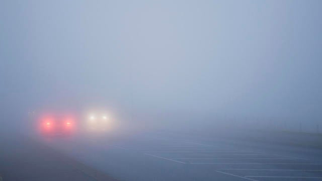
Warm air mixed with snow and rain have caused fog to spread throughout Minnesota over the weekend and into Monday.
Watch CBS News

Warm air mixed with snow and rain have caused fog to spread throughout Minnesota over the weekend and into Monday.
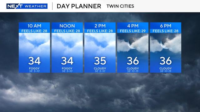
Clouds will dominate the day with the hopes of any sun later very low.

2024 was indeed the warmest year on record in the Twin Cities, including warmth records set in the fall and winter.

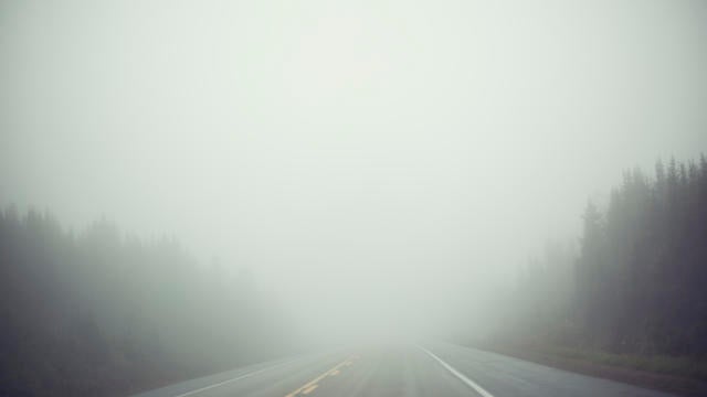
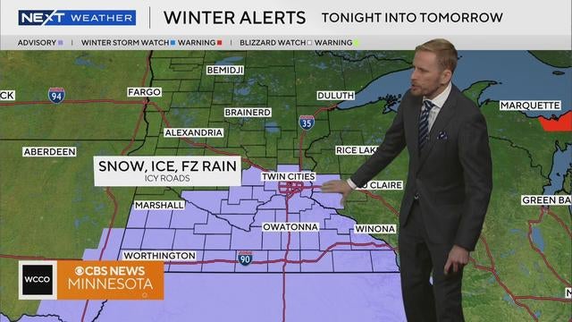
A foggy Christmas Day could lead to slick spots on the roads.
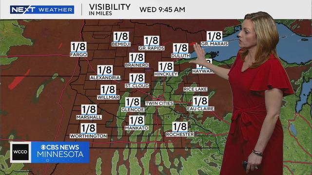
Fog will become more of a factor this evening, which could make for slick roads and hazardous travel conditions.
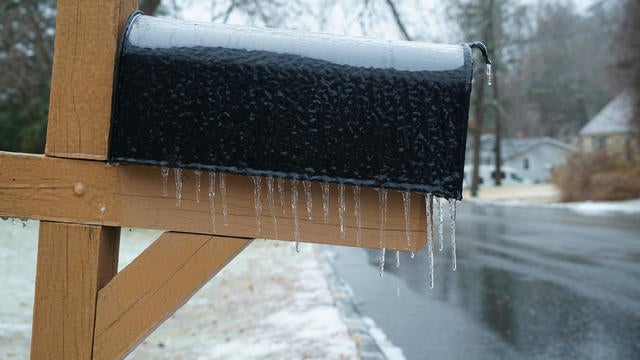
Highs will be just below freezing as the week begins, with freezing drizzle, freezing rain and snow possible across Minnesota and Wisconsin.
The National Weather Service has issued winter storm warnings for multiple cities throughout northwest, west central and central Minnesota and southeast North Dakota.
High temperatures will stay in the 30s through Monday — an improvement after last week's deep freeze.
Friday kicks off with more frigid conditions in Minnesota, but temperatures, clouds and wind pick up through the afternoon before our next storm.

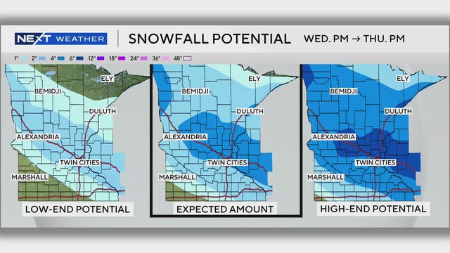
A strong cold front is headed for Minnesota, bringing light snow in time for the Wednesday morning commute.

In the Twin Cities on Sunday, temperatures will get up into the 40s in the afternoon before gusty winds move into the area.
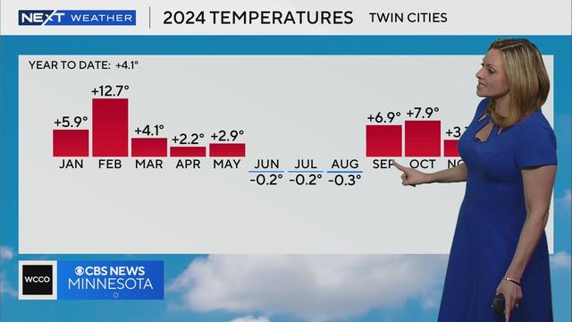
Despite this recent cold snap, the Twin Cities still ended up with the warmest fall on record this year.
Enjoy the "warmup" in the Twin Cities on Tuesday because it will be brief.

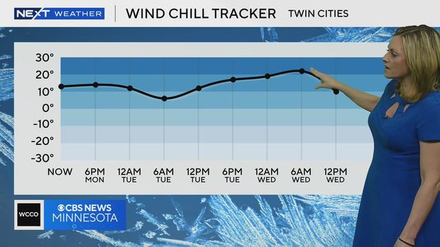
Highs try to warm a little more but only reach the lower 20s with wind chills closer to 10.

No big storms are expected in Minnesota for Thanksgiving week. But that's not necessarily the case across the U.S., where some spots could see snow.