After icy start to Tuesday, milder temps in metro for rest of workweek
After a wet, slushy and icy morning commute in the Twin Cities, temperatures will warm above freezing, but clouds will remain.
Watch CBS News

After a wet, slushy and icy morning commute in the Twin Cities, temperatures will warm above freezing, but clouds will remain.
It stays mild into Monday night in the Twin Cities, which means rain could turn to freezing rain and drizzle overnight.
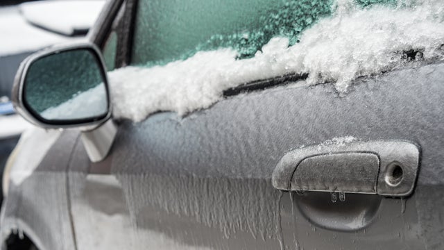
It will be a messy forecast today as an icy mix of sleet, freezing rain, and snow will move through the metro starting around noon.
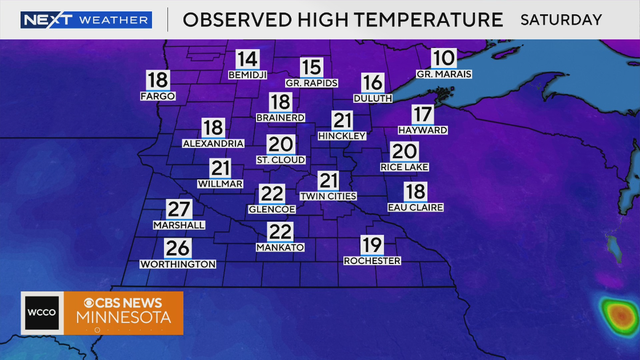
Saturday will be warmer than the past few days with highs in the low 20s, much closer to average for this time of year.
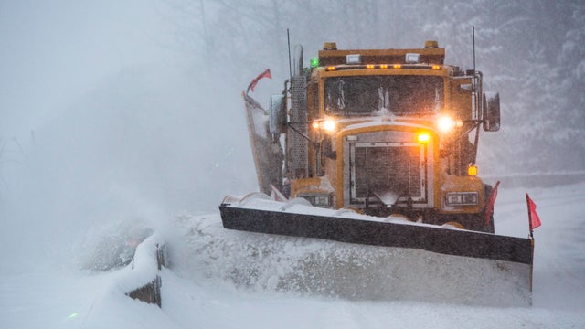
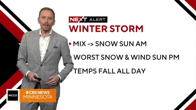
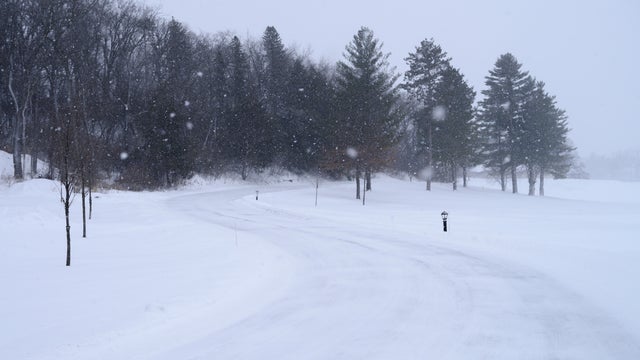
A major winter storm has arrived in Minnesota on Sunday and is expected to impact travel conditions into Monday.
Saturday will see temperatures in the 40s before a major drop off comes on Sunday.

Temperatures on Saturday will be in the low 40s.

A NEXT Drive Alert is in effect due to the potential for icy roads with possible freezing drizzle in northern and central Minnesota.
Christmas Eve will be mild with mostly cloudy skies, with afternoon temperatures reaching the upper 30s.
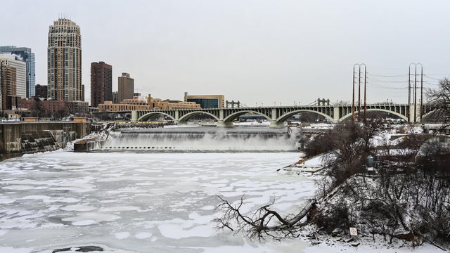
It will be a chilly Saturday night in the Twin Cities, but a warming trend will lead to a lot of Christmas week snow melt.
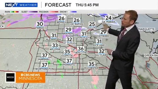
Tuesday will bring a strong clipper system that could drop several inches of snow on parts of the Twin Cities.

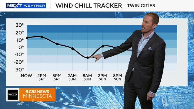
Temperatures will start at zero degrees Sunday but the wind chill will make it feel closer to -15 degrees.
Temperatures will remain in the teens on Saturday, but the wild chill will make it feel closer to the single digits.
A cold pattern settles in across Minnesota Tuesday, with spotty light snow possible.
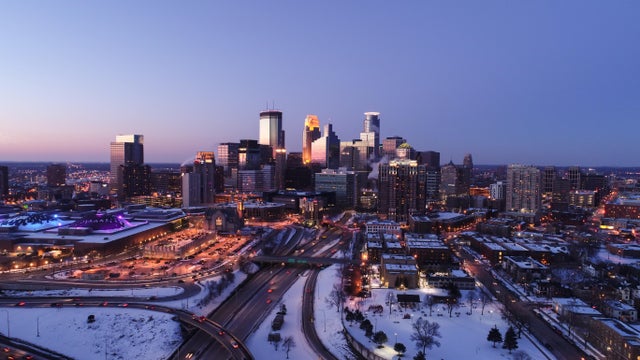
Minnesota's cold streak isn't going anywhere as temperatures stay below normal on Monday and throughout the week.