
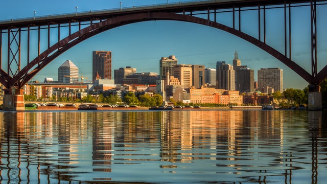
Summer heat makes a comeback Friday in Twin Cities
Summer heat will start to make a comeback on Friday in the Twin Cities, and last through the weekend.
Watch CBS News

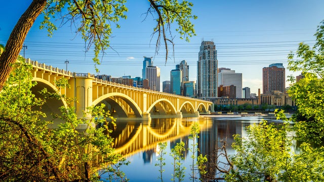
Summer heat will start to make a comeback on Friday in the Twin Cities, and last through the weekend.
After another foggy morning, the Twin Cities will enjoy a #Top10WxDay on Thursday.
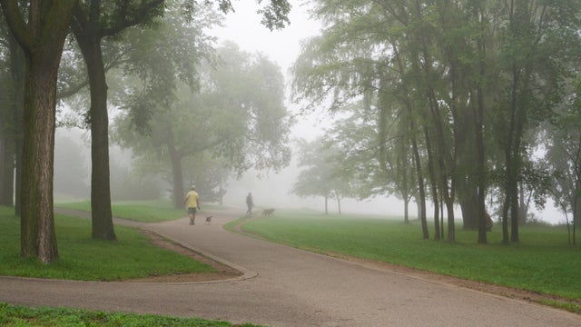
The Twin Cities will see more fog on Wednesday night and early Thursday, with the latter shaping up to be a #Top10WxDay.
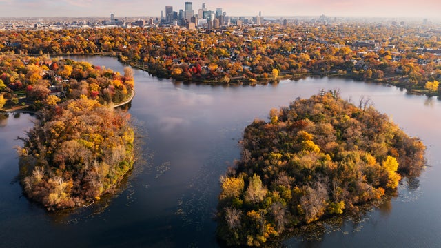
Minnesota is in for a warm-up starting midweek that will eventually bring highs back into the 80s.
Warmer temperatures return to the Twin Cities on Monday, with storms possible later on.

After the coolest morning the Twin Cities has experienced since May 25, clouds return on Thursday afternoon, preventing any chance for an increase in warmth.
In the wake of Tuesday's front, expect a mostly cloudy, cool and breezy day in the Twin Cities on Wednesday.
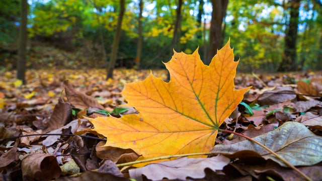
A strong cold front moves into the Twin Cities Tuesday, bringing scattered storms and fall-like days behind it.
Labor Day will be mostly sunny and pleasant in Minnesota, but an impending cold front will give us a preview of fall by midweek.
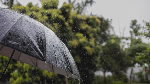
Labor Day weekend should stay mostly dry, with a low chance for isolated showers on Friday and Saturday, mainly in far western Minnesota.
A weak boundary could spark a stray shower Thursday night and overnight Friday in the Twin Cities, but most will stay dry.

Southern Minnesota could see scattered showers and weak storms on Wednesday as highs climb close to 80 in the Twin Cities.
Clouds will decrease as highs climb into the low to mid-70s on Tuesday in the Twin Cities.
Highs will top out right around 70 in the Twin Cities, with lighter winds and plenty of sunshine.
An approaching cold front will continue to throw clouds across the Twin Cities on Friday morning.