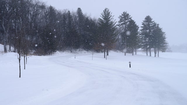
Storm to bring snow to parts of Minnesota on Tuesday
Tuesday will bring a strong clipper system that could drop several inches of snow on parts of the Twin Cities.
Watch CBS News

Tuesday will bring a strong clipper system that could drop several inches of snow on parts of the Twin Cities.

A NEXT Weather Alert is in effect for a storm that's expected to bring rain and snow through Minnesota on Tuesday.

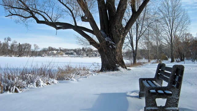
After the coldest morning Twin Cities residents have felt since mid-February, temperatures gradually warm through Thursday afternoon and evening.
A cold pattern settles in across Minnesota Tuesday, with spotty light snow possible.
Minnesota's cold streak isn't going anywhere as temperatures stay below normal on Monday and throughout the week.
Light and persistent snow continues to fall in Minnesota on Saturday, with the southern region expected to see the most accumulation.

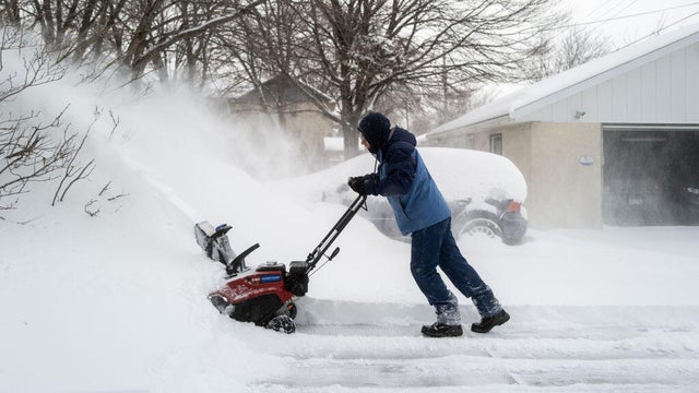
A winter snowstorm that slowly moved into southern Minnesota on Friday night is expected to drag across the state into Saturday. WCCO has issued a NEXT Weather Alert.
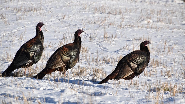
Highs on Thursday won't break 30 in the metro as skies stay mostly cloudy, with some sun breaks.

Minnesota's first winter storm of the season should move out Wednesday morning, but blowing snow and bitter cold will continue to make travel difficult in parts of the state.

On Monday evening, the first wave of a two-part storm arrives, bringing a few showers across southern Minnesota. Round two arrives Tuesday morning as rain for southern and central Minnesota and snow up north.

High pressure overhead will finally bring lots of sunshine to the Twin Cities to wrap up the work week.

Drizzle and fog linger through late Thursday morning in the Twin Cities before a cold front sweeps in drier air in the afternoon.

Temperatures will run 5 to 10 degrees above normal, with highs around 45 on Wednesday.

After some precipitation early Tuesday, the Twin Cities will be dry and seasonable for the next several days

Areas south of the Twin Cities should brace for some snow Monday night as a wintry mix moves through.