Above average to start the week, but changes on the way
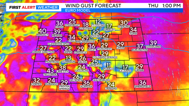
A strong low-pressure system will push onshore late Wednesday, bringing changes to the pattern.
Watch CBS News

A strong low-pressure system will push onshore late Wednesday, bringing changes to the pattern.
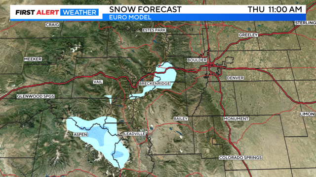
Early season snow is possible Wednesday night into Thursday across the higher peaks in Colorado.

The best time to view the fall colors is elevation dependent. If you are planning a trip across the northern mountains the best time is mid to late September. In the central mountains it is late September.

One final hot and dry day is on tap across Denver before strong to severe storms make a return on Wednesday.

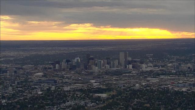
It was a summer for the record books in Denver. The average temperature (highs and lows) was 75 degrees. This is only the second time in Denver's history with an average summer temperature at or above 75 degrees.

September 1st will mark the start of fall, meteorological fall that is. Meteorologists use a slightly different timeline for seasons compared to the astronomical seasons we learned in school.
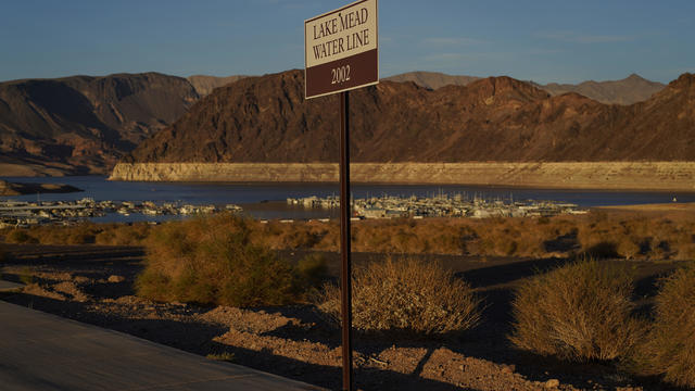
Drought conditions continue expanding across the Front Range and Eastern Plains of Colorado. 2.2 million Coloradans are in areas of drought, up 2.9% since last week.

Hot and dry weather is expected in Denver for the upcoming Labor Day weekend.
Labor Day weekend is just about upon us! The forecast for the next few days: hot and dry.
It will be a bit warmer on Friday in Denver with hit-or-miss thunderstorms during the afternoon and evening.
Cooler with widespread showers and thunderstorms across the high country and Eastern Plains Thursday afternoon and evening. Much of Thursday will be mostly cloudy with on and off showers.
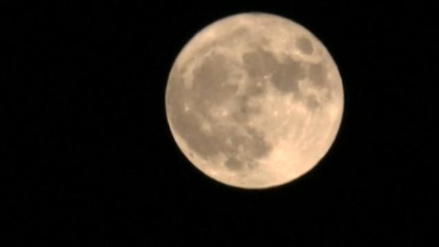
The moon will have several nicknames on August 19th: full moon, supermoon, blue moon and sturgeon moon.

A gradual drying trend will continue through the remainder of the week across Colorado. Storms are expected again Wednesday, but they will be less numerous and intense compared to Monday and Tuesday. There is about a 30-40% chance of a shower/t-storm across much of I-25 with one or two stronger storms capable of producing large hail and gusty winds.
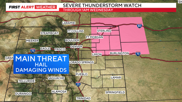
A severe thunderstorm watch has been issued for Northeastern Colorado through 1 AM Wednesday morning. Primary threats include wind gusts to 70 MPH, isolated very large hail events to 2" in diameter and a tornado or two.

Flash flood potential will increase Tuesday afternoon and evening as thunderstorms develop. A few strong to severe thunderstorms are expected across I-25, with the greatest probability across the Eastern Plains.