
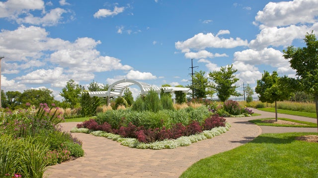
More early fog, and stunning afternoons, this week
The Twin Cities will see foggy mornings and warm afternoons for the next few days.
Watch CBS News

The Twin Cities will see foggy mornings and warm afternoons for the next few days.

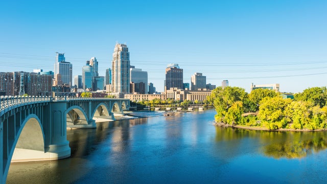
Expect more fog early Wednesday in the Twin Cities before sunshine reigns.
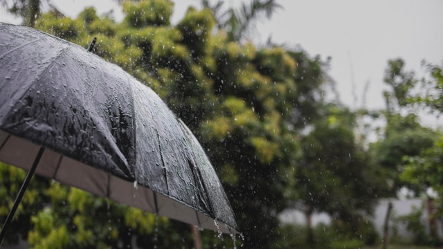
Showers and storms will pester parts of Minnesota on Wednesday, with the bulk of the action in the Twin Cities expected in the afternoon.

Tuesday's summery heat is on its way out in Minnesota, but highs will remain above average on Wednesday with humidity to boot.
Isolated showers are possible into the evening on Monday in the Twin Cities ahead of a hot and steamy Tuesday.
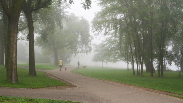
The Twin Cities will see more fog on Wednesday night and early Thursday, with the latter shaping up to be a #Top10WxDay.

Minnesota is in for a warm-up starting midweek that will eventually bring highs back into the 80s.
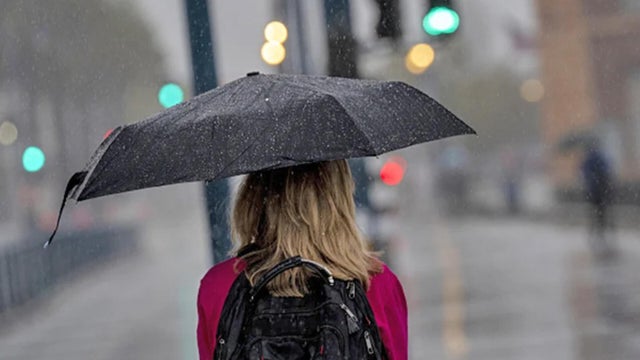
Warmer temperatures return to the Twin Cities on Monday, with storms possible later on.

Clouds will decrease as highs climb into the low to mid-70s on Tuesday in the Twin Cities.
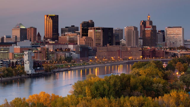
Wednesday will be warm and slightly humid in the Twin Cities, but things will cool down for the first weekend of the Minnesota State Fair.
The Twin Cities will see patchy fog form again on Tuesday night with clear skies and light winds.

After some lingering rain moves out Monday morning, the Twin Cities will see partly sunny skies ahead of a cooler, drier week.

Thursday will bring increasing humidity and a chance of rain to the Twin Cities.

Most of Minnesota is in for a beautiful day on Wednesday, though northern Minnesota is still under an air quality alert.

An air quality alert remains in effect for the entire state of Minnesota on Monday.