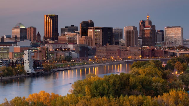
Thursday kicks off mostly cloudy stretch in Twin Cities
Thursday kicks off a mostly cloudy stretch that will last through Saturday morning, when the sun returns.
Watch CBS News

Thursday kicks off a mostly cloudy stretch that will last through Saturday morning, when the sun returns.

Rain will linger for some parts of Minnesota on Tuesday.

Monday will be breezy and increasingly cloudy in the Twin Cities ahead of an early week stretch of rain.

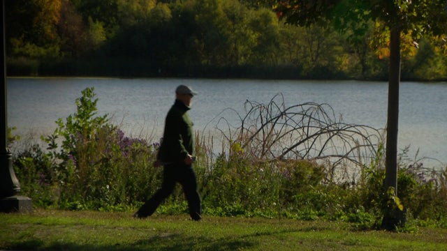
Thursday and Friday mornings will be cold with frost and freeze likely, but the next several days warm up.
The Twin Cities will start to dry out on Wednesday, and the sun will make a welcomed return.

It'll be a windy and wet start to the work week in Minnesota.

Monday will be nice, sunny and breezy in the Twin Cities.

Clouds increase Thursday afternoon in the Twin Cities, with a few showers possible in the evening hours.

It will be a milder, windier night on Wednesday in the Twin Cities, taking frost out of the equation for early Thursday.
It starts out chilly on Tuesday in the metro amid a freeze warning across far northern Minnesota. Temperatures will warm to seasonable highs in the mid-60s.

Highs will approach record levels on Thursday in the Twin Cities ahead of a windy weekend.

Expect clearing skies and highs in the 80s on Wednesday. Thursday will be very similar.

Summer-like warmth will hold for the next few days in Minnesota, before weekend storms and an eventual cooldown.

The Twin Cities will be dry and warm for most of the week, with daily highs in the 80s for the next few days.

After some patchy Thursday morning fog, the Twin Cities will enjoy sunshine and highs near 80 degrees.