
Strong winds Friday in Twin Cities ahead of chilly Saturday
The Twin Cities can expect strong winds on Friday, a chilly Saturday and a potential midweek storm.
Watch CBS News

The Twin Cities can expect strong winds on Friday, a chilly Saturday and a potential midweek storm.
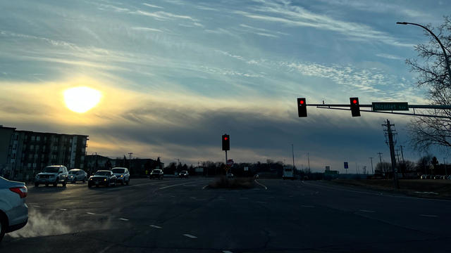
The Twin Cities will enjoy a quiet Thursday before strong winds arrive on Friday, and temperatures fall this weekend.

Chef Adam Reitsma and his team have been prepping new items like the veggie spring rolls, a Swedish meatball sub and the walleye sandwich.

This year, Minnesota Sea Grant has added a feature to its Minnesota Lakes Ice-Out Clock allowing users to look up a forecast for specific lakes.

Despite more clouds on Sunday, temperatures will climb even more into the mid-40s and stay there all week.

This weekend will be the warmest since the start of the month.
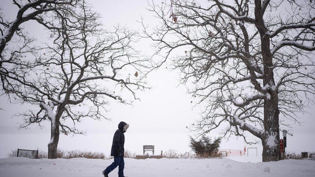
Despite the dangerous February cold, this winter in the Twin Cities is still tracking to be fairly average compared to past winters.
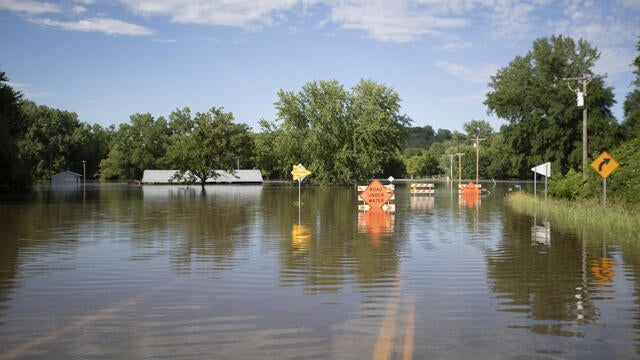
Next week's warmup is a sign that spring is around the corner. While many of us are excited about the thaw and the new season, it can come with a risk of flooding.

Breezy winds over the weekend are expected to drop temperatures as low as -30 degrees by next week.
Light snow made for a messy Valentine's Day evening in the Twin Cities.

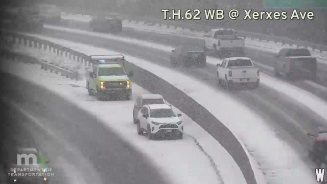
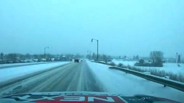
The next round of snow will hit Minnesota and Wisconsin on Friday, just as Valentine's Day dinner plans are getting underway.
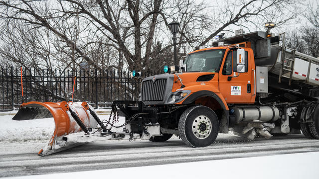
Officials on Wednesday morning announced the winners of this year's Name a Snowplow contest.
Highs reach the upper teens in the afternoon with wind chills in the single digits. It will be mostly sunny all day.
Snow will continue to fall Saturday morning following overnight flurries, giving way to a dry and cold rest of the weekend.
Despite the frigid temperatures so far this winter, the amount of snowfall in Minnesota is still significantly below average.