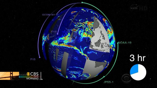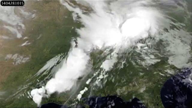
This animation shows visible and infrared satellite data from NOAA's GOES-East satellite that shows the development and movement of the weather system that spawned tornadoes affecting the Midwest and Southern U.S.
This animation shows visible and infrared satellite data from NOAA's GOES-East satellite that shows the development and movement of the weather system that spawned tornadoes affecting the Midwest and Southern U.S.