Bay Area basks in unseasonable heat with thunderstorms and increased fire danger on the horizon
Unseasonably hot weather was baking parts of the Bay Area for a third consecutive day on Wednesday, raising fire weather concerns ahead of a major change in conditions, forecasters said.
The National Weather Service said leftover moisture from Tropical Storm Mario off Mexico's Pacific Coast is moving into Northern California, increasing the chance of showers and isolated thunderstorms, with the initial storm bands producing dry lightning before widespread wetting rains arrive.
The concern over dry lightning strikes sparking wildfires in parched hillsides is greatest across the Central Coast and higher terrain areas of the South Bay and inland Bay Area, the Weather Service said. The tropical moisture is expected to begin moving into the region late Wednesday night and Thursday morning, when the threat of dry lightning strikes would be greatest.
KPIX First Alert Weather: Current conditions, alerts, maps for your area
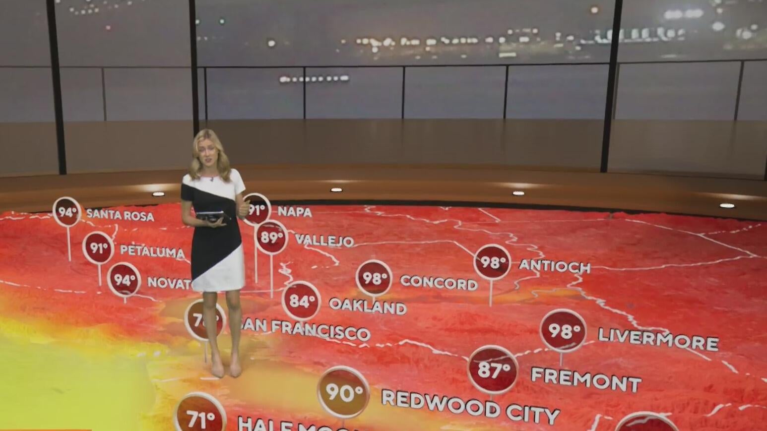
On Wednesday morning, lingering clouds and fog along the coast kept temperatures in the 60s to low 70s, with only a modest warm-up expected before the moisture arrives. Around the bay, Wednesday highs were expected in the 70s under mostly sunny skies. Inland temperatures, including the East Bay hills and Santa Clara Valley were expected to be in the low to mid-90s with some gusty afternoon breezes adding to the fire danger.
Wetting rains should become more likely by Thursday into Friday, and the arrival of that rain is expected to reduce the fire threat heading into the weekend. The Weather Service urged residents to remain alert for fire weather statements and thunderstorm advisories.
By Friday afternoon, many areas should begin drying out, with the wettest conditions largely shifting away, the Weather Service said. Into the weekend, the forecast calls for drier, more stable weather, with only low chances of precipitation, seasonably mild temperatures.