Another round of drenching storms arrives in Minnesota Sunday evening


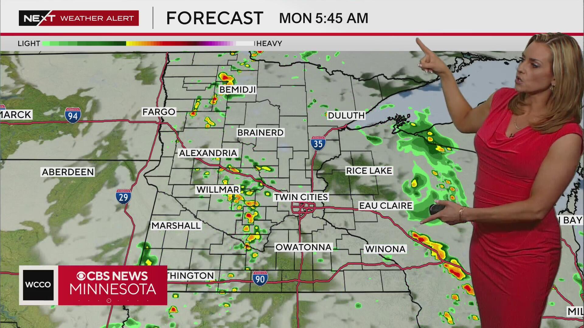
A NEXT Weather Alert is in effect Sunday evening as parts of the state are preparing for another onslaught after morning storms.
The early round brought heavy rainfall and flash flooding. Some areas, including Tracy, saw between 3 and 6 inches of rain.

There was one observed tornado in northern Iowa earlier in the evening from the same storm. As of 7:30 p.m., no tornadoes have been reported on the ground in Minnesota.
An isolated afternoon shower can't be ruled out in the metro, but the real threat arrives out west in the evening and will hit the Twin Cities late at night.
The greatest severe weather threat is for southwestern Minnesota, where the threat is a 2 out of 5. The severe weather threat is 1 out of 5 just west and south of the metro.
A flood watch is in effect until 10 a.m. Monday for the Twin Cities metro and the southern half of the state, where 1 to 2 inches of rain is expected. Some areas could see as much as 4 inches of rain.
The National Weather Service issued a flash flood warning for the following areas until 2:30 a.m.: southeastern Rice County, southern Dunn County, southeastern Blue Earth County, northern Faribault County, Steele County, Waseca County and Goodhue County.
Storms will continue into the Monday morning commute. High pressure will then begin to build in, bringing an end to the active pattern late Monday and largely keeping us dry into next weekend.
Temperatures will stay fairly seasonable through most of the week with humidity dropping, but next weekend we'll cool into the 70s.