Severe weather in western Colorado causes flash flooding, NWS issues tornado warnings
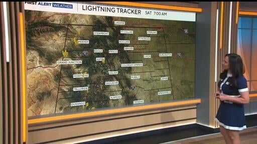
Storms moving through Colorado on Saturday brought areas of heavy rain and wind. According to the National Weather Service, multiple possible tornadoes formed, and some areas in western Colorado have seen flash flooding.
The NWS said the stationary front will bring heavy to excessive rainfall to the southern Rockies into the northern Plains through Saturday. A flood watch is in place for southwest and west-central Colorado through this evening and NWS Grand Junction issued a flash flood warning for Rio Blanco County until 4:15 p.m.
In the event of a flash flood, the NWS says you should never walk or drive through flood waters. Only 6 inches of moving water can knock a person off their feet. Water may be deeper than it appears, they warned, and could hide sharp objects, washed out road surfaces, electrical wires or other hazards. They say 12 inches of water can sweep away a car or small SUV, and 18 inches of water is enough to carry away large vehicles.
Multiple tornado warnings were issued by the NWS on Saturday, including areas of Montezuma, Dolores and San Miguel Counties.
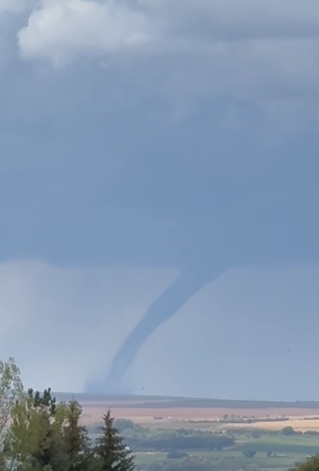
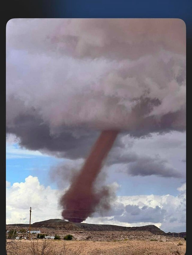
A viewer shared images they took of a possible tornado that formed near Cortez, Colo.