Weather warnings issued for parts of Chicago area as new storms sweep through


More rounds of thunderstorms swooped into the Chicago area Tuesday.
A Flash Flood Warning was issued for central Cook, southeast DuPage, and northern Will counties in Illinois until 8 p.m. The National Weather Service said Doppler radar and automated rain gauges indicated that the thunderstorms moving through the area were dropping rain at rates of 2 to 3 inches per hour.
As of 4:20 p.m., 3.4 inches of rain had fallen around Mokena, 2.4 inches in Tinley Park, and 2.2 inches in Flossmoor and close to downtown Chicago.
The area had already received more than 1 inch of rainfall in earlier thunderstorms.
Some areas are still cleaning up after heavy rain and more significant rain could impact the same areas, so drivers must make sure never to drive through flooded area roads.
A Severe Thunderstorm Warning was also in effect for northeast Cook County, but ended at 4 p.m. When the warning was issued, a storm was pounding its way over the Portage Park and Irving Park neighborhoods with hazards of 60 mph winds.
A separate Severe Thunderstorm Warning was later issued for parts of Jasper and Newton counties in Indiana.
The storm system was moving northeast at 30 mph.
The storm potential Tuesday afternoon also involves a threat of cloud-to-ground lightning, in addition to damaging wind gusts.
Due to the latest storms, a ground stop was issued at Midway International Airport, and a ground delay was in place at O'Hare International Airport. Ground stops were also issued at both airports in the early-morning hours.
A Flood Watch was in effect for most of the area through midnight Tuesday night.
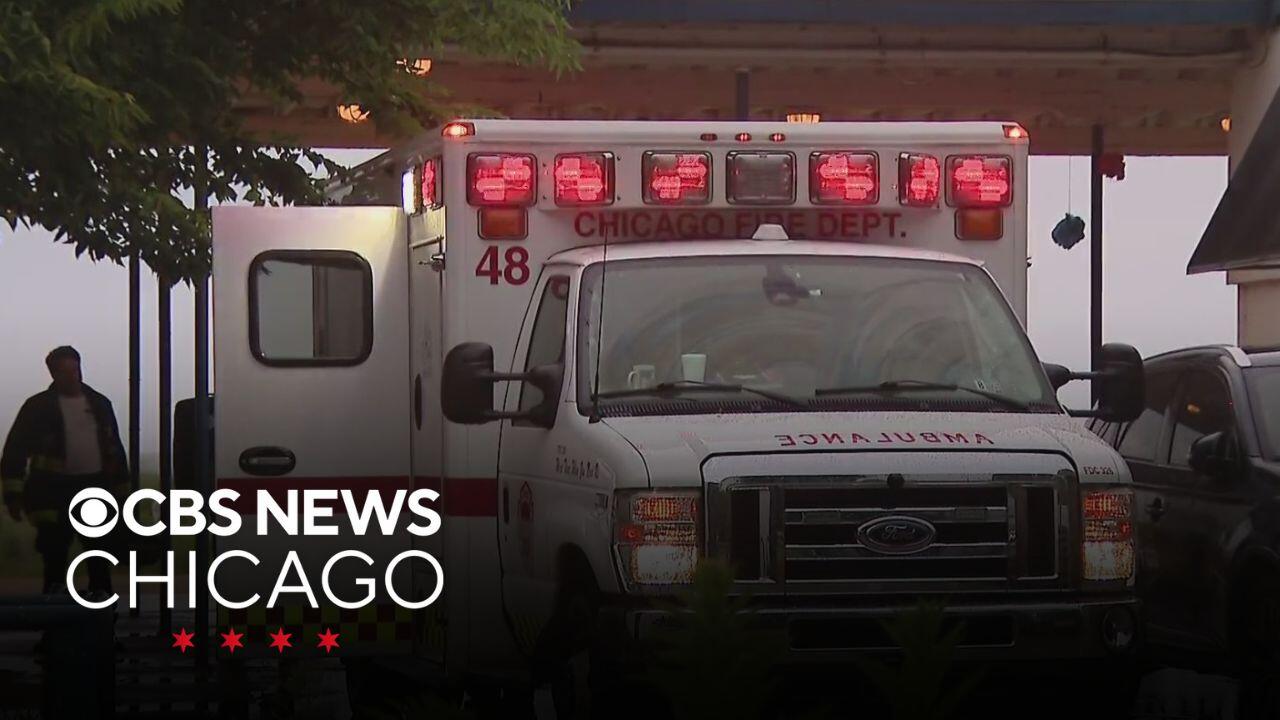
During the storms, a Chicago Park District lifeguard was loaded into an ambulance at Montrose Beach.
It was not yet known if the lifeguard was struck by lightning or if it was the ground nearby.
Overnight Monday into Tuesday, storms unleashed torrential rainfall that at times fell at the rate of seven to eight inches per hour. The storms persisted overnight, and while the last of the rain had tapered off around 9 a.m. in the city.
But more thunderstorms blew into the area in the afternoon. Thunderclaps were heard in downtown Chicago around 3 p.m.
This second round of storms also brought heavy rain and were expected to trigger flooding and ponding on roadways, as well as gusty winds. The thunderstorms will end Tuesday evening as a cold front sweeps in.
Monday night storms cause flooding in Chicago
A Flood Advisory was issued for parts of the Chicago area on Monday evening for storms that produced torrential rain. The advisory expired shortly before 2 a.m.
Overnight storms caused a viaduct at North Avenue under DuSable Lake Shore Drive to flood. The viaduct was still flooded during the Tuesday morning commute.
Beginning shortly after 9 p.m., lightning began flashing and thunder began rolling in downtown Chicago, as pouring rain began falling off and on.
There were reports of local flooding, specifically in roadways.