Maryland braces for hot, humid stretch with storm chances midweek
Maryland is in for a classic August weather pattern this week — hotter, stickier, and with a better shot at afternoon thunderstorms as we move toward the weekend.
High pressure, which has been keeping things quiet, will drift offshore by Tuesday. As that happens, heat and humidity will build, setting the stage for more summer-like days and nights.
Monday's highs reached the mid to upper 80s, with heat indices in the low 90s thanks to a noticeable jump in humidity. Dew points have climbed a good 10 to 15 degrees compared to Sunday, pushing into the upper 60s and low 70s. Tonight will be mild, with most spots staying in the upper 60s to low 70s. Patchy fog may form overnight, especially in low-lying valleys.
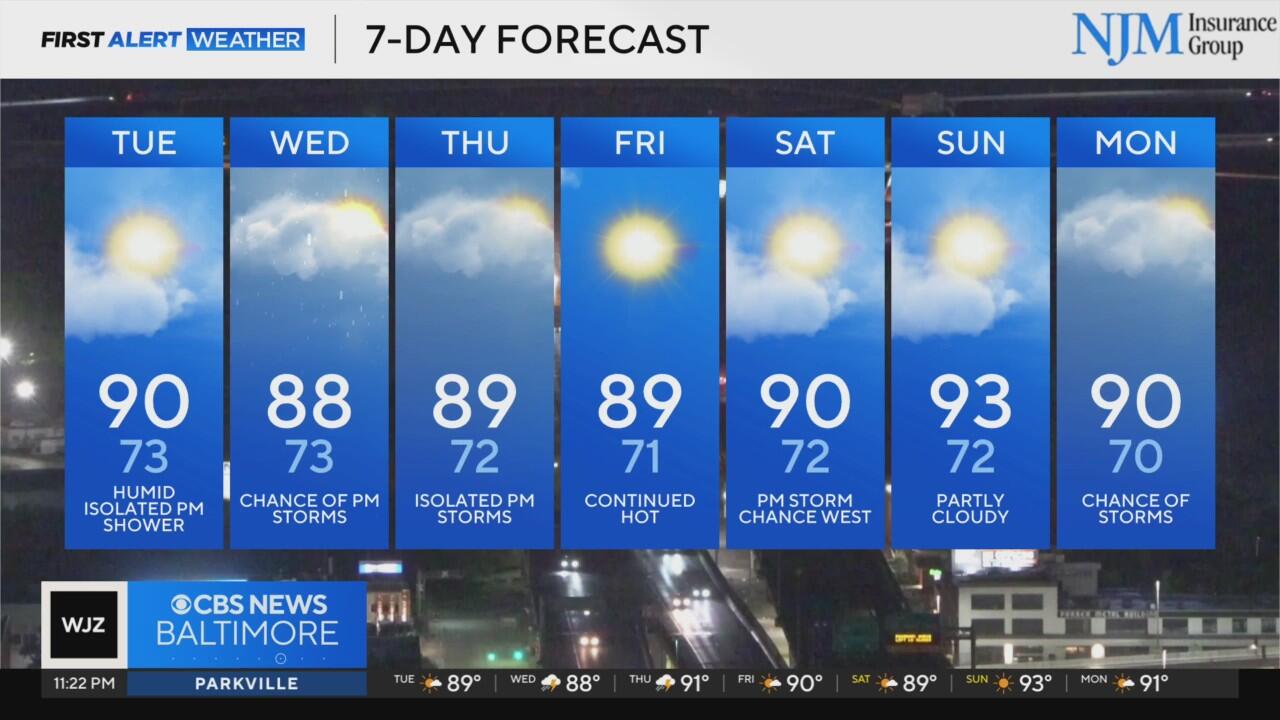
By Tuesday and Wednesday, highs will climb into the upper 80s and low 90s, and in the more humid spots near the Chesapeake Bay, it could feel close to 100 degrees. Overnight lows will stay muggy, especially along the I-95 corridor.
Storm chances will start to tick up Tuesday, especially for western Maryland, and become more widespread on Wednesday as a slow-moving cold front approaches. While severe weather isn't expected to be widespread, storms could produce gusty winds and heavy downpours, raising the risk for localized flooding.
The front is expected to stall nearby Thursday into Friday, keeping the heat, humidity, and daily storm chances going. Highs will stay in the mid 80s to low 90s through the end of the week, with warm, muggy nights.
By the weekend, storm chances may ease a bit, but isolated pop-ups are still possible, especially near the Bay or in the mountains. Another front could arrive early next week, bringing the next round of unsettled weather.
Bottom line: Keep the umbrella close, drink plenty of water, and be ready for Maryland's version of "dog days" summer.